Activities
SIDENAV
Smart infrastructure for deep sea navigation
SIDENAV aims to develop a demonstrator that validates and applies
technology that enables, among others, the exploitation of mineral resources in
deep-sea waters under Portuguese jurisdiction (for example the Mid-Atlantic
Ridge).
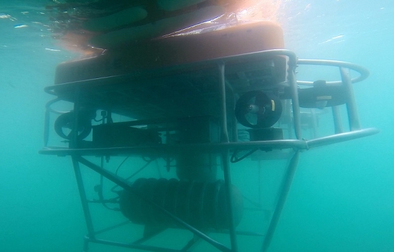
The Portuguese sea is characterized by a high depth, and many natural
resources are at depths greater than 1500 m. This makes it difficult or even
hinders its exploitation through either autonomous or even through the
tele-operated systems. Sustainable industrial exploitation of these resources requires
that navigation is made with high accuracy and with controlled costs.
It is generally intended to demonstrate the feasibility of developing an
application that results in innovative dynamic infrastructure for positioning,
navigation systems to operate in the seabed, such as systems for mining
operations.
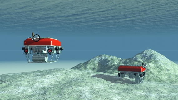
The positioning equipment to be implemented will meet the following
specifications:
- Mobile infrastructure location based on a network of satellite repositioning ‘Landers’.
- Autonomous robotic navigation for long periods of time in large-scale areas.
- Operation at depths between 1500 m and 2500 m, in order to support the operation in the water column from the seabed and nearby.
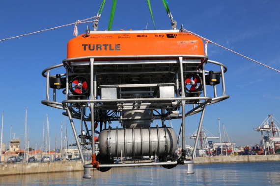
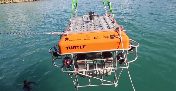
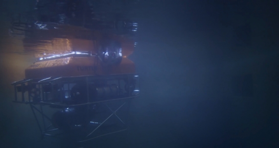
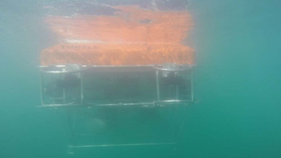
This project is based on the use of technology developed by the consortium in the the previous TURTLE project, whose results were achieved with great success.